Aerial Data for every need
Get magazine-quality still photos of places, people, or events. Our photographers fly premium quality drones and will capture images of your subject from virtually any angle. Get detail-rich aerial photos & videos to make informed & actionable decisions. Insightful, easy, and reliable drone services on-demand. Especially beneficial for infrastructure or industrial inspections in hard-to-reach locations. Our Part 107 Certified pilots have the knowledge and expertise to conduct a thorough aerial, or general industrial inspection.

About Us
Aerospot Imaging and Data services
Aerospot provides high resolution digital imagery and data to allow you to make the best informed decisions possible in the shortest amount of time. Using Aerospot drone services we can provide accurate mapping and surveying solutions to provide realistic terrain models and photo realistic 3D models. Aerospot excels in delivering high-quality, cost-effective imaging, video and data for analysis, surveying, mapping, and more. we have dedicated staff members providing creative and technical services giving us a wide range of specialized capabilities.
Our Specialties
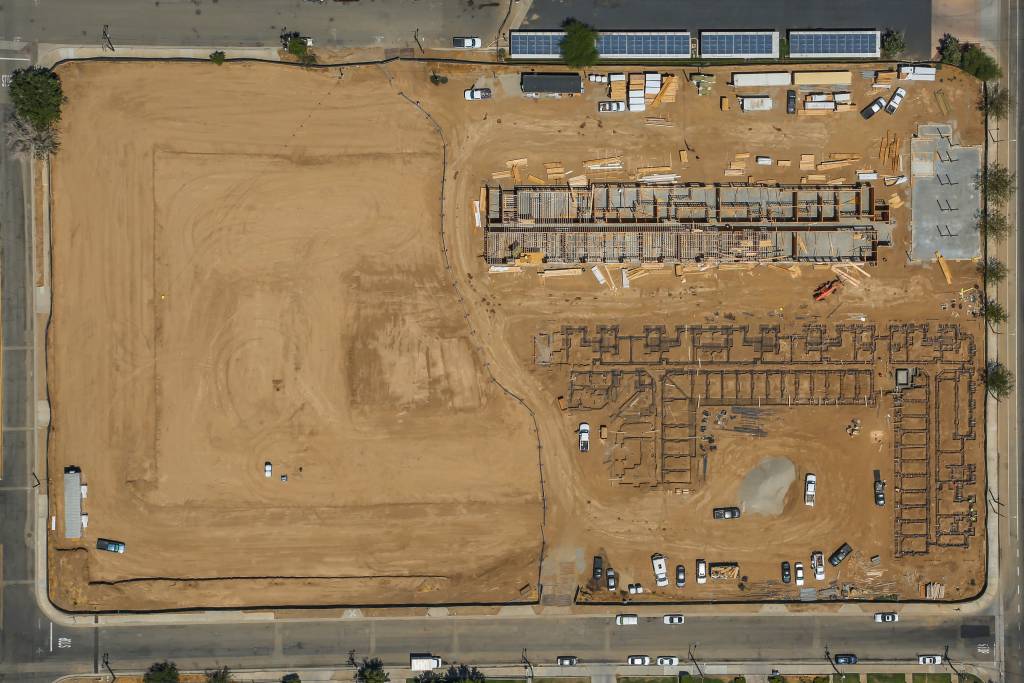
Construction & Mapping
Track, map/model, survey, inspect, and manage your worksite projects. From as-is to as-built and more. Construction site aerial imagery is the innovative solution to deliver sophisticated analytics, or provide a visual progress reports to stakeholders.

Real Estate & Cinematography
Our professional drone services provide stunning aerial footage including images, video, and panoramas for any project. or to showcase your residential or commercial property.
Services for Every need
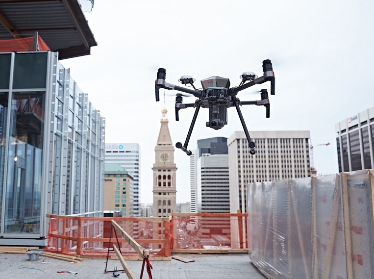
FAA Part 107 Licensed & Insured Pilots
Construction Progress Monitoring
Multiple aerial platforms and cameras
Aerial Cinematography
Photogrammetry / Mapping
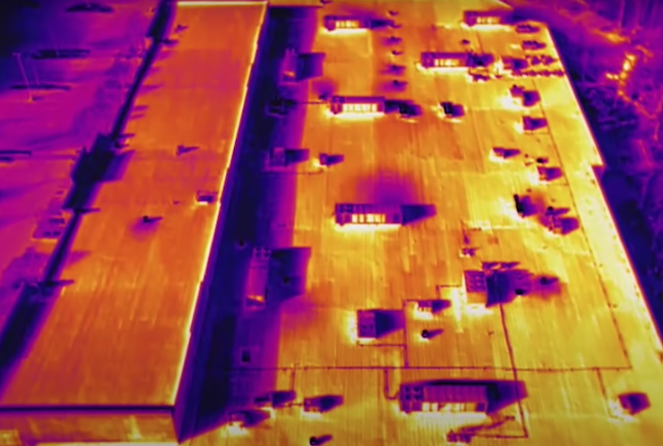
Inspections - Roof, Building, Tower
Training / Consulting
Gallery