About Us

About Us
Aerospot imaging and Data Services
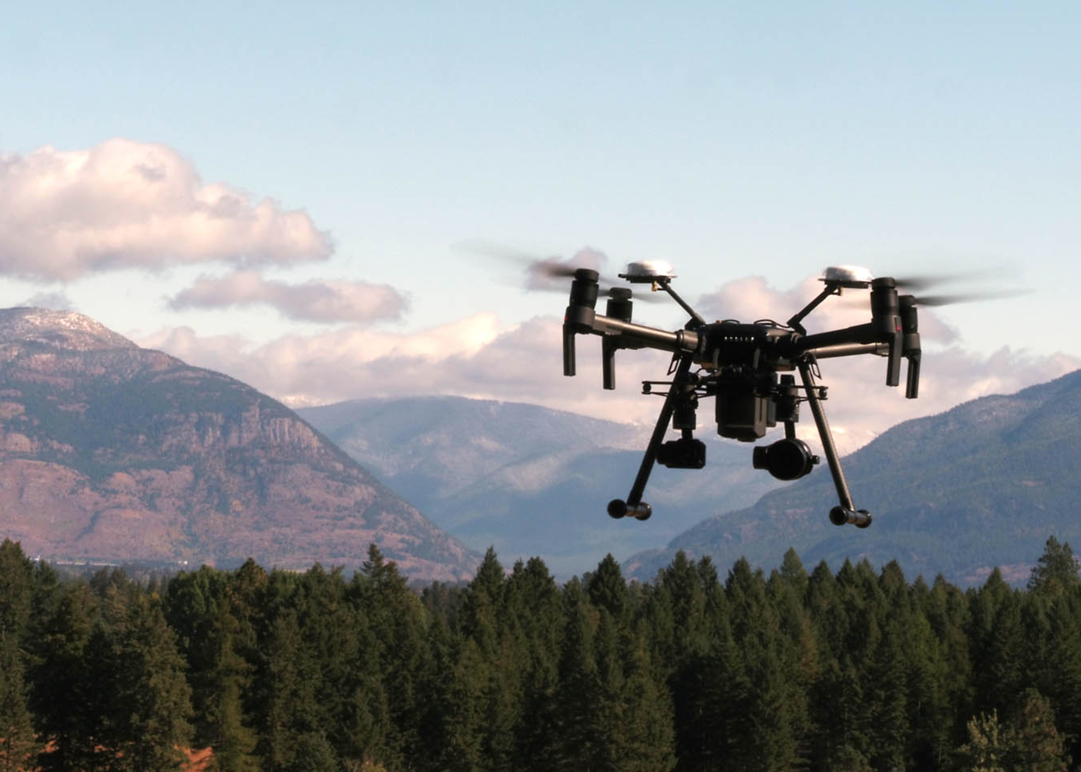
Aerospot provides high resolution digital imagery and data to allow you to make the best informed decisions possible in the shortest amount of time. Using Aerospot drone services we can provide accurate mapping and surveying solutions to provide realistic terrain models and photo realistic 3D models. Aerospot excels in delivering high-quality, cost-effective imaging, video and data for analysis, surveying, mapping, and more. we have dedicated staff members providing creative and technical services giving us a wide range of specialized capabilities.
Our Services
Multiple aerial platforms and cameras
Aerial Cinematography
Photogrammetry
Mapping
Inspection
Consulting
FAA Part 107 Licensed Pilots